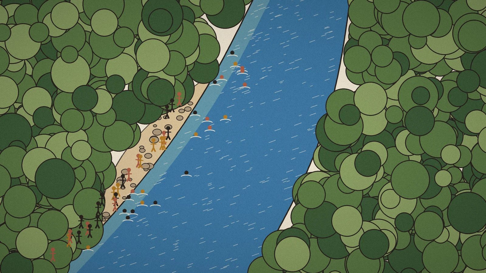
In 1995 the Rhine and the Meuse rose so high that more than 250,000 people in the Netherlands had to leave their homes, along with a million animals. The dykes held. What came next changed the way people looked at water: instead of building the walls ever higher, they gave the river room. Between 2006 and 2019, at 34 places, they moved the dykes back and let the water spread. In Nijmegen, the dyke moved 350 metres.

They already had something very old that helped: water boards, elected by the people and organised by water, not by provinces. One goes back to 1255. And today, at Eemlandhoeve, a farm in the North Sea Delta, neighbours meet to learn again how to live with their water.
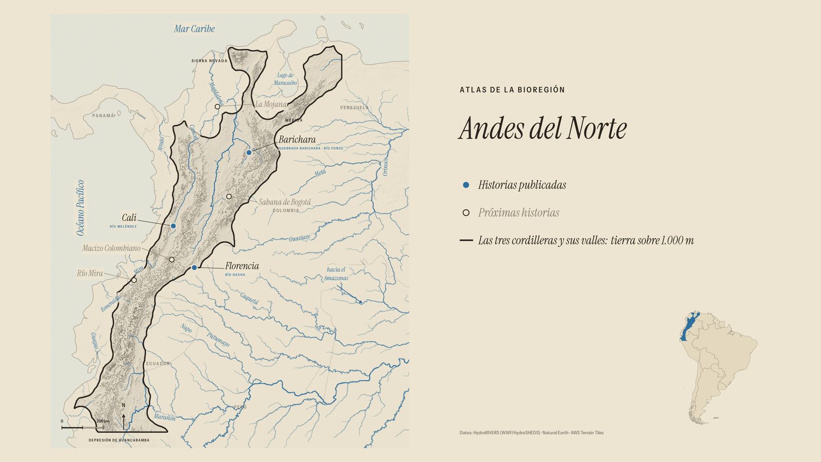
Nobody taught me at school that this had already been done in Colombia. In the lowlands of the San Jorge River, around 200 BC, the Zenú dug canals and raised ridges to live with the floods. Not against them: with them. The system worked for about 1,300 years, across almost half a million hectares, and today it is on UNESCO’s tentative list.
Two rivers, an ocean apart, teach the same lesson: water needs its room, and people organise better around a basin than around a border. That is why, in our Atlas, the San Jorge and La Mojana are the twin at home of the North Sea Delta.
And then there is my own river, the Suárez, which rises in the Fúquene lagoon. There, people spent two hundred years draining the lagoon for cattle. They blasted the riverbed. Still, every time it rains, the water takes those fields back.
What would the river closest to you do if we gave it room?
This text goes with Semillas 01, “The Water Remembers”, the first story from another bioregion of the world in our Atlas. Watch it on YouTube or on Instagram.
Thanks to the Bioregional Learning Center North Sea Delta, at the Eemlandhoeve farm, and to Earth Regenerators, for the stories from the Netherlands. Sources: Rijkswaterstaat (the 1995 floods and Room for the River); Climate-ADAPT and TU Delft (Nijmegen); the Dutch water boards; Museo Karib and UNESCO’s tentative list (the Zenú hydraulic system of the San Jorge); “Dos siglos de desecación en Laguna de Fúquene”, Agua y Territorio no. 4, 2014.